
Track former Cyclone Alfred’s rain totals in Brisbane, SE Queensland and NSW
Tropical Cyclone Alfred has made landfall on Moreton Island, off Brisbane, as a category one system.
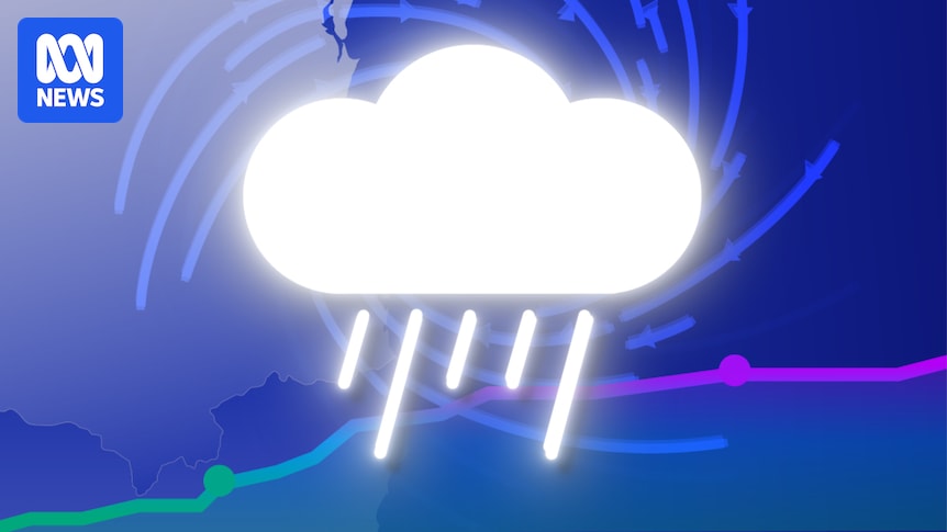
Heavy rain and strong winds will continue along the coast as ex-Tropical Cyclone Alfred crosses over the mainland and is forecast to move slowly inland.
Strong winds were recorded in large parts of Brisbane and the Gold Coast on Saturday night, with more than 300,000 Queenslanders now without power.
Damaging gusts are still possible over the eastern Darling Downs and Granite Belt this morning and are expected to ease today.
Rain will continue to batter the south-east as the weather bureau predicts six hourly totals between 80 and 130 millimetres today.
Life-threatening flash flooding could develop with locally intense rainfall as bands of showers and thunderstorms move over Brisbane, Ipswich and the Sunshine Coast throughout the day.
We’re tracking how much rain has fallen and wind speeds at key weather stations in Queensland and New South Wales throughout the day and night — refresh to see updates.
Please note:
- Locations are listed from north to south.
- Rainfall totals are accumulated from 9am local time on Wednesday, March 5 and are updated regularly.
- Wind speeds shown are maximum gusts reported by the Bureau of Meteorology. Labels show the highest and latest points on each chart.
How much rain has fallen in Queensland?
Note: The weather station at Coolangatta stopped reporting rainfall data at 12:30pm AEST on March 7.
How much rain has fallen in NSW?
How high are wind speeds in Queensland?
How high are wind speeds in NSW?
Have you been affected by Cyclone Alfred? We want to hear your story